Description
Extractor calculates the average greenness G of sampling points in circle area, where sample points are collected on routes(street/road) at user given interval.
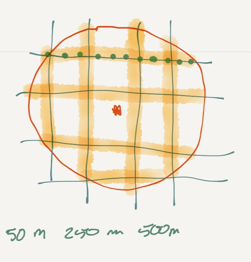
Users' upload XML file will provide center point of circle area, size of radius and the distance of sampling interval. In below figure, user can define the size of search area with different radius. In a specific search area (red circle), sampling points in green are collected along all routes.
Geolocation of Sampling points will be forwarded to Map Server to retrieve street view images. Each image greenness will be calculated as the percentage of green pixels, but it would recommend not to count green pixels in grass land.
Discussion
Seeking a data source and programmatically calculate geolocation of Sampling points in a circle.
Seeking a methodology to split trees and grass land on street view images.