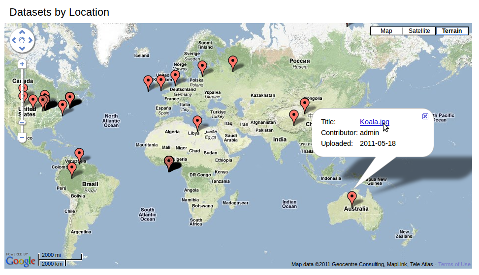
Map
Here you'll be able to view a complete map of all geo-tagged datasets. You can navigate around the map as you can in Google Maps: zooming in and out, panning, switching between Map, Satellite, and Terrain view.
Clicking on one of the red-marked points will let you see more information about the specific dataset with the the Title, Contributor, and Date Uploaded. Clicking on the title will take you to the dataset's page.