Uploaded image for project: 'Great Lakes to Gulf Virtual Observatory'
  1. Great Lakes to Gulf Virtual Observatory
  2. GLGVO-127

In Explore Layers, add the USGS Land Data to Layers and a legend

XMLWordPrintableJSON

    • Icon: New Feature New Feature
    • Resolution: Done
    • Icon: Normal Normal
    • 1.1
    • None
    • None

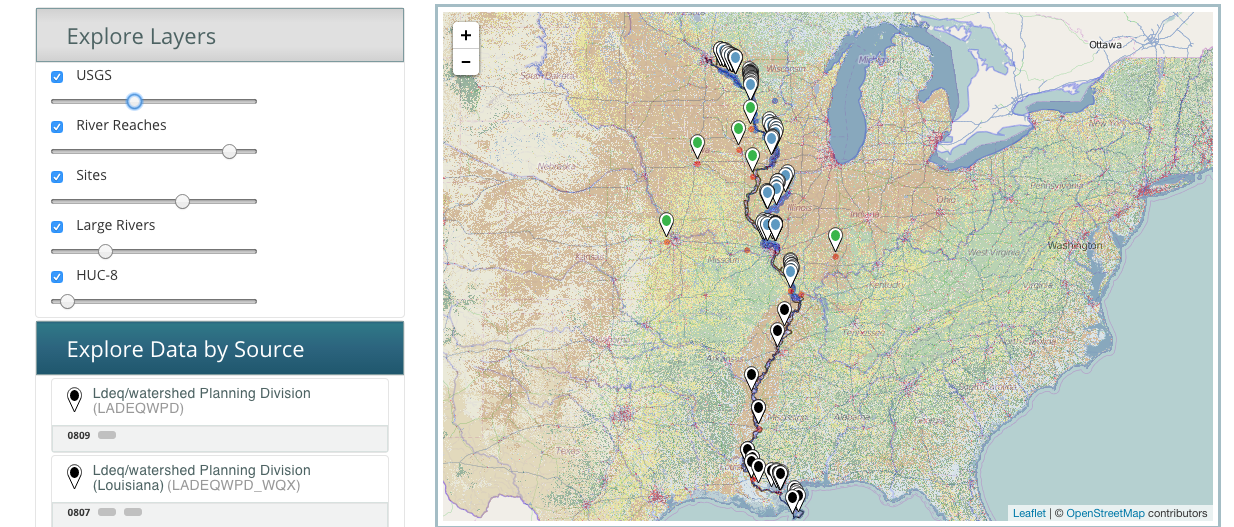
      Jong and I tested adding this layer to the Explore Layers accordion and it is very fast and responsive. (see attached screenshot)

      We can quickly add this layer to GLTG: app.config.layers

      wms: http://isse.cr.usgs.gov/arcgis/services/LandCover/USGS_EROS_LandCover_NLCD/MapServer/WMSServer
      id: 31
      opacity: 0.3

      Jong has asked that we show this legend somehow in the UI. Possibly below the slider, or in an Info modal popup. The response comes back as a PNG file. This will take more time to get this looking good.

      http://isse.cr.usgs.gov/arcgis/services/LandCover/USGS_EROS_LandCover_NLCD/MapServer/WMSServer?request=GetLegendGraphic&service=WMS&format=image/png&version=1.0.0&layer=31

              brock Brock Angelo (Inactive)
              brock Brock Angelo (Inactive)
              Votes:
              0 Vote for this issue
              Watchers:
              2 Start watching this issue

                Created:
                Updated:
                Resolved:

                  Estimated:
                  Original Estimate - 4 hours
                  4h
                  Remaining:
                  Remaining Estimate - 4 hours
                  4h
                  Logged:
                  Time Spent - Not Specified
                  Not Specified